The New Orleans Levee Protection System was designed to protect the city from massive flooding.
The levee system was born out of the devastation left behind by Hurricane Besty, and then destroyed and redone following Hurricane Katrina.
The New Orleans East Bank Levee System is approximately 176 miles and is made up of Mississippi River Levees and the Hurricane and Storm Damage Risk Reduction System.
The river levees are locally maintained, while the U.S. Army Corps of Engineers maintains the storm reduction levee system.
According to the Army Corps of Engineers, the Levee System is made up of 12 segments extending through four different parishes and maintained by four different levee districts.
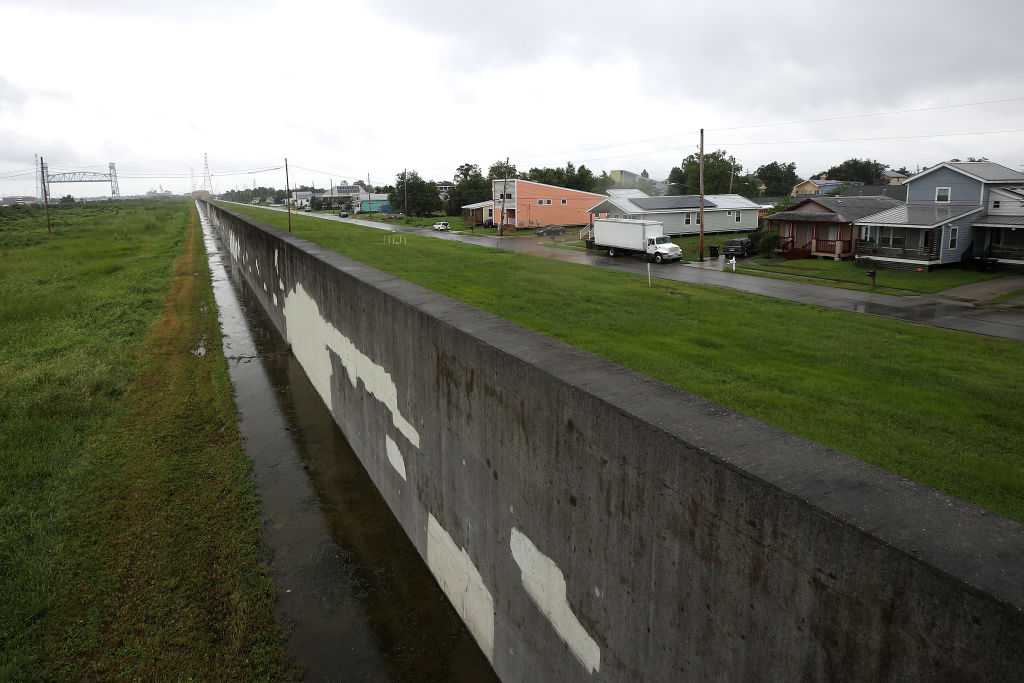
The system totals approximately 99 miles of levees and 77 miles of floodwalls.
USACE began to construct the MRL in 1927, while the HSDRRS levees began construction anywhere from 1960’s to the 1980’s, according to the Army Corps of Engineers.
The new HSDRRS levees were completed to 100-year risk reduction in 2011.
The levees keep water from the Gulf and rivers out of Metro New Orleans.
READ MORE:Explaining the New Orleans levee system


